How Can We Help?
Importing Spline Actors
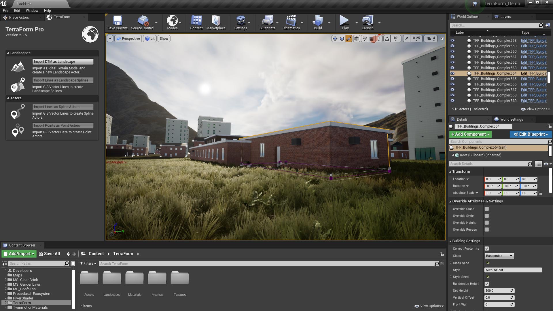
Here’s what happens when you import your vector data into UE4 blueprints using TerraForm:
Reprojection:
As with landscape spline, when you import vector line/point data as blueprint spline actors, TerraForm first reads the metadata from the ShapeFile to be imported. It then reads the GIS Projection Asset and compares the values. If the imported ShapeFile projection information is the same as that for the landscape, your data is imported without re-projection. If they differ, your GIS vector data is re-projected to the same projection system as your landscape, then imported.
Height Test:
If you’ve selected Snap to Landscape, once your vector data is in the same projection as your landscape, TerraForm checks the landscape’s terrain altitude at each of your control points and sets its z-value, applying your spline to the landscape’s surface. Like landscape spline import, if spline points fall outside the extent of your DTM data unusual behaviour can result, so make sure you clip the GIS data inside the DTM extents before importing.
If Snap to Landscape is unchecked, the height test will be skipped and TerraForm will first check whether there are z-values in your GIS data. If there are, the altitude of the control points will be set to those values. If not, the blueprint spline points will be set at the altitude of your Vertical Offset.
Apply Import Settings:
Following re-projection and height testing, a copy of the blueprint is added as an actor to your scene and the imported spline points are copied into it. Unlike landscape splines, blueprint splines are available as actors in the World Outliner.
If your GIS vector data contains multiple single-part lines, a new blueprint spline will be added for each individual line.