How Can We Help?
3. Data/Tools
Here’s some information about the software and data you’ll need to follow these tutorials.
SOFTWARE
Since UE4 doesn’t natively support geographic data, you’ll need a few tools to help you overcome this. This tutorial uses some 3rd party content from the UE4 market place too – if you want to follow the steps exactly, you’ll need that as well:
UE4/Unreal Editor (Version 4.24.3 or later)
Obviously need this! We’ll continue to test and update it for new versions of Unreal Engine.
This tutorial uses UE4 Version 4.24.3.
TerraForm UE4 Plugin
UE4 doesn’t natively have functionality to import vector GIS data, so we’ve developed a plugin to help you do this.
This tutorial uses TerraForm LITE (v2.0.4).
GIS (Geographic Information System) Software
To prepare GIS data for UE4, you’re going to need some GIS Software.
Here we’re using the OpenSource QGIS software, which has loads of useful functionality and even better – it’s free!
We’ve also created tutorials for Global Mapper, a popular mid-level GIS program.
This tutorial uses QGIS Version 3.12, but you can copy the processes in other recent versions.
Image Editing Software (e.g. Adobe Photoshop)
You’ll need image editing software to generate the landscape layer masks.
We use Adobe Photoshop CS in this tutorial.
Again, freeware options exist (e.g. GIMP) so you can replicate the processes shown here in that or similar. We’ll create some GIMP tutorials soon too.
Procedural Landscape Ecosystem – Blueprints/Materials
Since the purpose of this tutorial is to show you how to import GIS data into UE4, we’re not focusing on generating meshes and materials – those used in this tutorial are from the UE4 market place.
The Procedural Landscape Ecosystem content from Gokhan Karadayi is great. You can either purchase it from the UE4 Market Place, or create your own landscape materials and follow the same processes in this tutorial.
DATA
There are loads of sources of geographic data around the world. Some are free, some are commercial.
High resolution geographic data is available for free for the US from public institutions, so we’re going to use that for this tutorial.

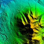
Digital Terrain Model Data
There are two types of digital elevation model:
- Digital Surface Model (DSM) is the first surface the RADAR (or LIDAR) hits and includes trees, houses etc. We don’t want that.
- Digital Terrain Model (DTM) is the ‘bald terrain’, where surface features have been edited out. That’s the one we want.
Luckily the area we’re creating has 1m/pixel data available so we’ll use that.

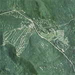
Aerial/Satellite Imagery
Aerial/satellite imagery comes in varying resolutions.
UE4 wants you to match the resolution of the DTM, so we’ll get 1m imagery too.
Try to be selective about which aerial images you use. There are lots of sources of variable quality – the better the input data, the better the output. We’ll talk you though sourcing aerial photography from USGS in the next tutorial.

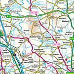
Road/Rail/Trail Vector Maps
We need vector lines to show us where roads, rail and hiking trails should be placed.
Vectors should be high resolution and correlate with the DTM/aerial data.
If you’re following the tutorial with your own data, great – you can skip the next bit.


