How Can We Help?
Vector Point Source Data
In addition to using vector line data, TerraForm PRO and TerraForm LITE also support the use of vector point data to create landscape splines. This is because GIS vector line data formats (including ShapeFile) typically support a single attribute value for an entire line. This is good when you’re seeking to create features which are pretty much consistent throughout their length (like railway lines), but it means you can’t set different widths (for a river for example) along the length of your spline. For blueprint spline actors, you might want to have different attributes at each control point, like the speed limit, the last time a section of rail track was serviced (or by whom), etc. In these instances, you can use a GIS vector points file and set different attributes at each control point.
IMPORTANT
If you’re using points to create landscape splines, for now you can only add a single linear feature at a time. This is because the Index value of the points is used to determine the order they should appear in your spline. If you have multiple lines, these indices may be duplicated. We’re working to add further support to differentiate between linear features, but for now, just stick to 1 per GIS point file you import.
Data Formats
TerraForm initially supports only GIS vector point data in ESRI Shapefile (.shp) format. This is the most common (industry standard) vector line format and all GIS software can export it. We’ll add support for additional formats.
Projection/Datum
Your vector point data can be stored in any projection/datum combination – TerraForm will re-project your data to the same projection as your DTM data when you import it.
Attributes
TerraForm LITE and TerraForm PRO both now support the use of vector data attributes. In respect of landscape splines, you can use your data’s attributes to set all the import options automatically, and to select which meshes to apply to splines, or at the spline control points.
ESRI ShapeFile (.shp files) will allow you to create attributes and set different values for them for every vector point in a ShapeFile. This means that you can, for example, set the width of a river, apply different falloff values, or different layer width ratios at every point in your ShapeFile.
Dimensions
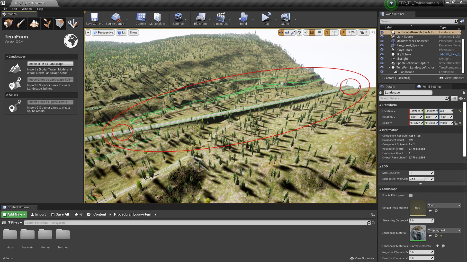
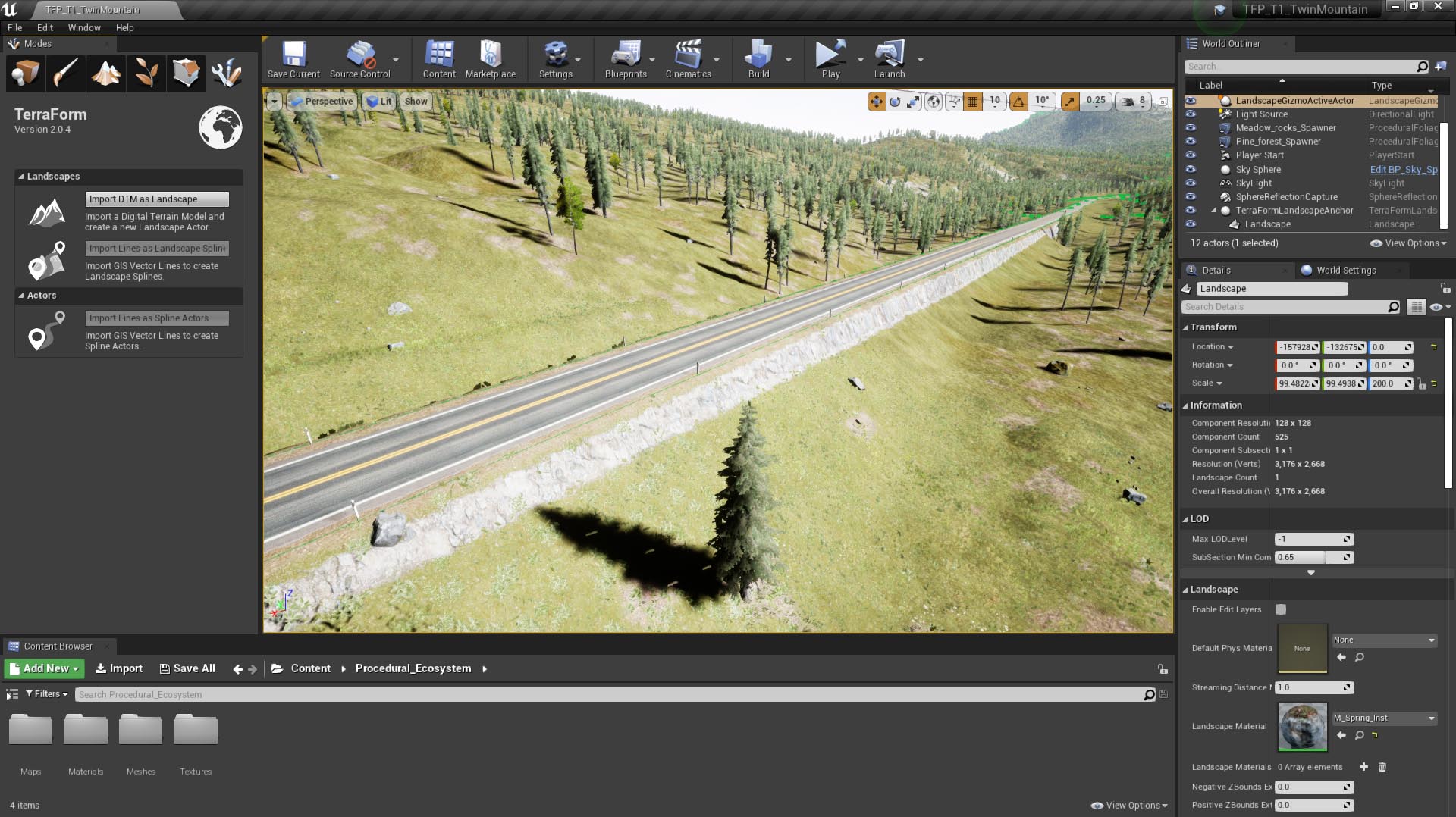
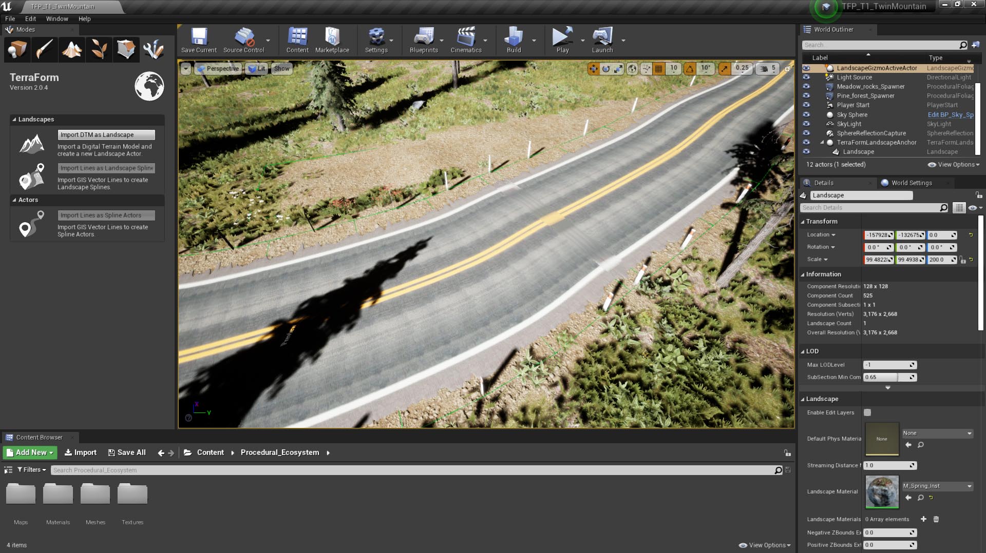
TerraForm will set the height value of each control point along your spline to the altitude of the landscape onto which it is imported. If you have vector points on or beyond the edge of your DTM data, it’s possible there will be no landscape underneath the spline control point and height values will default to zero. For this reason we recommend you export your GIS vector point data to an area slightly smaller (by at least one source pixel dimension) than your DTM data.
Data Density
The number of points in your GIS vector point data directly affects how the spline is applied to the terrain, and how the spline mesh is applied to the spline.
Too Few Data Points
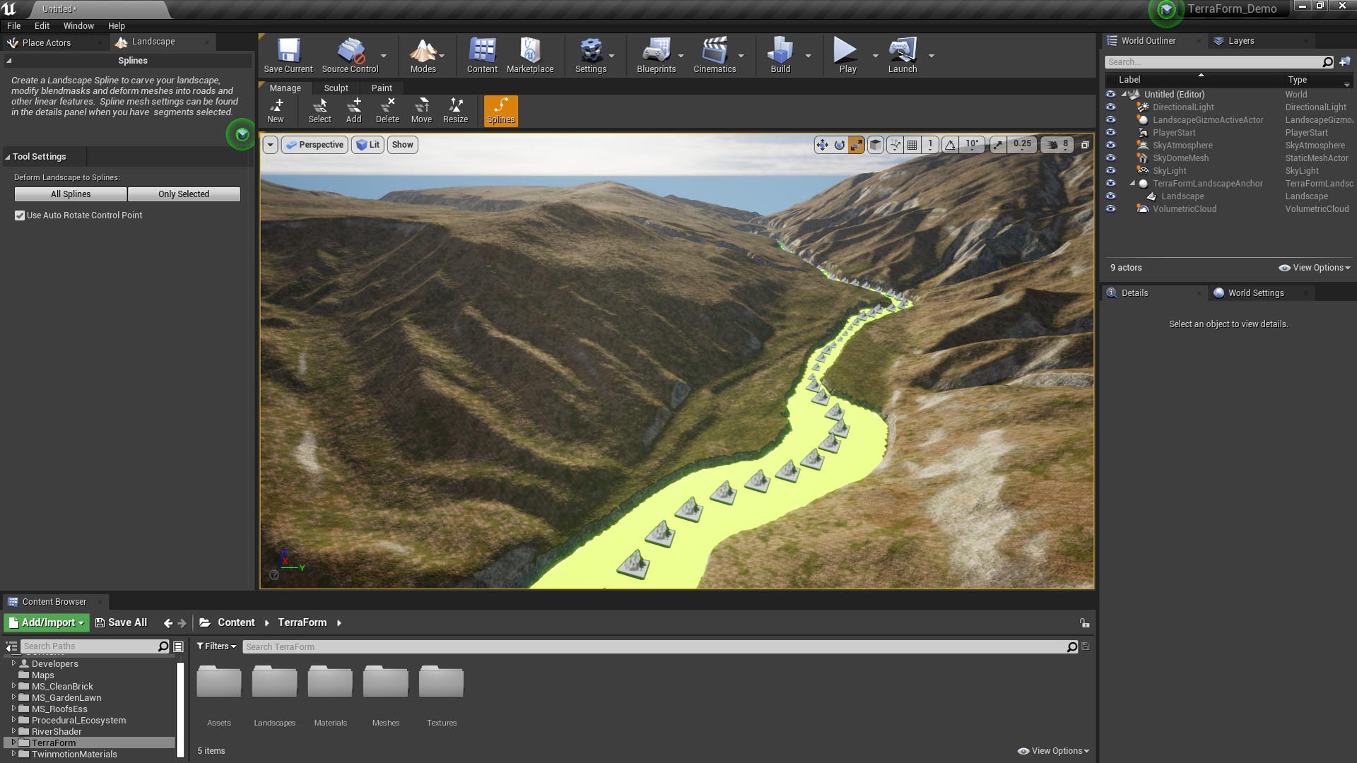
If your data is too sparse (there are too few vertices in your linear feature), the height calculation for each control point will be spaced too far apart and your landscape’s terrain may vary considerably in between:
This is problematic because when you deform the landscape to meet your spline, you may create ridges or cut channels that look unrealistic (see below).
Too Many Data Points
UE4 uses tangents to determine the distribution of the spline mesh along the landscape spline segments. If your data points are too close together (data is too dense), these tangents are squashed and your spline meshes will be squashed too.
As a general rule, the spline points should be spaced at least 1.5x the length of the spline mesh you intend to use.
Scale vs Data Volume
It’s easily possible to overload UE4 system resources with GIS data, so you need to be mindful to optimise as much as possible. If you’re building a very large area, you won’t be able to use very detailed line vectors – there will simply be too many data points for UE4 to handle. You may need to iterate the process of refining and importing vectors to get the best balance between performance, detail and accuracy.