How Can We Help?
1. Introduction
This set of tutorials describes one method for creating real world landscapes in UE4. In this tutorial we’re using GIS data downloaded for free from US Geological Survey, 3rd party content (Procedural Landscape Ecosystem from the Unreal Market Place), and a plugin we’ve developed for the Unreal Editor, called TerraForm, to import the data into UE4. You can follow these steps to using your own GIS data and landscape materials to create your own landscape.
WHAT ARE WE MAKING?
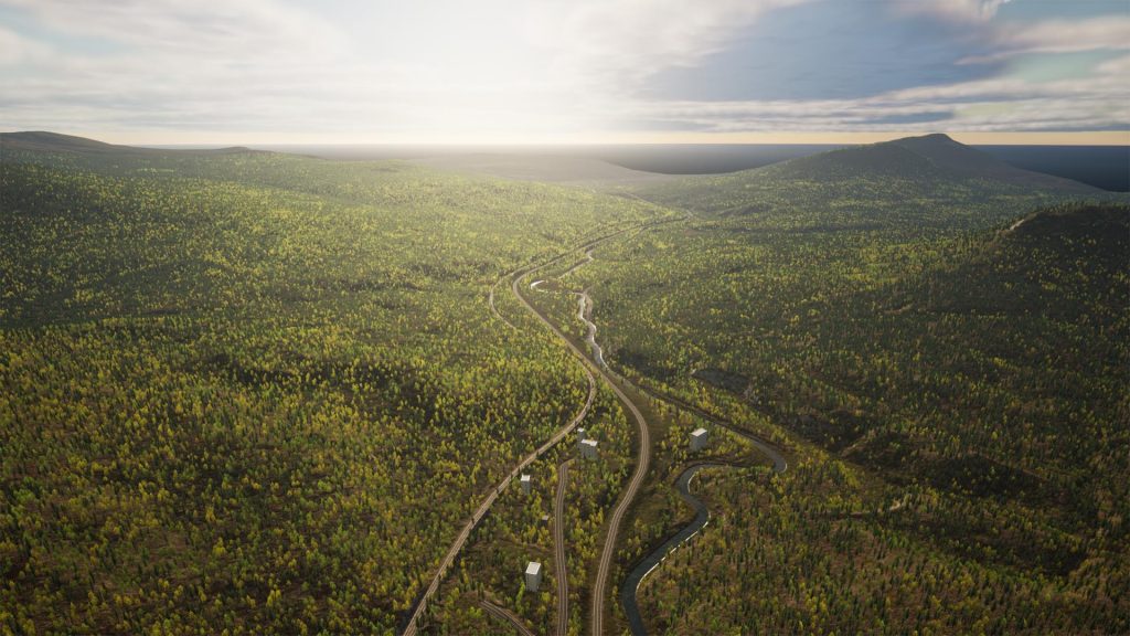
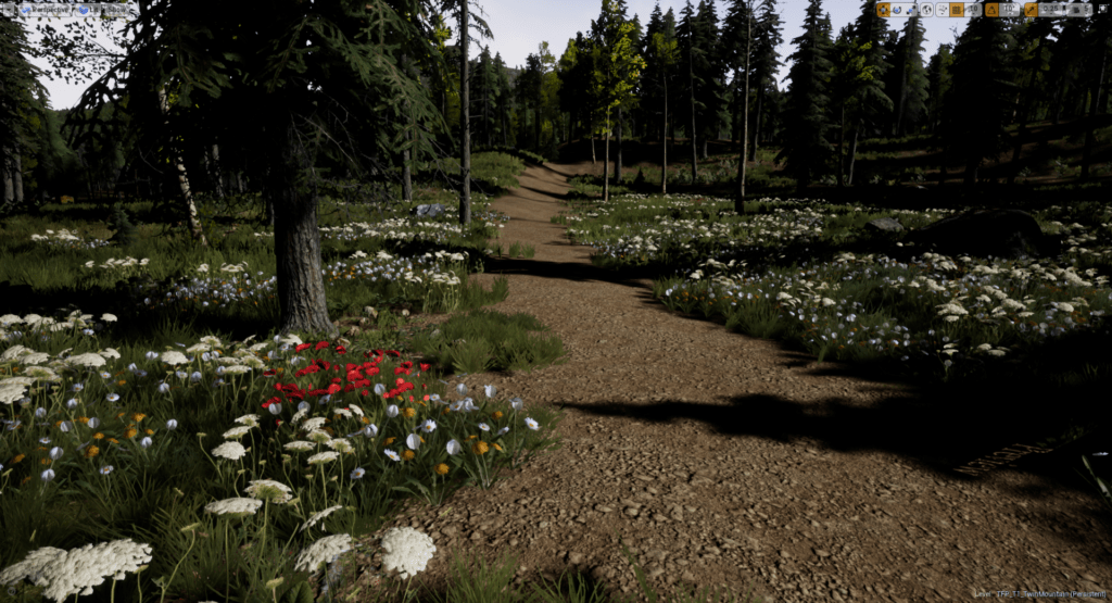
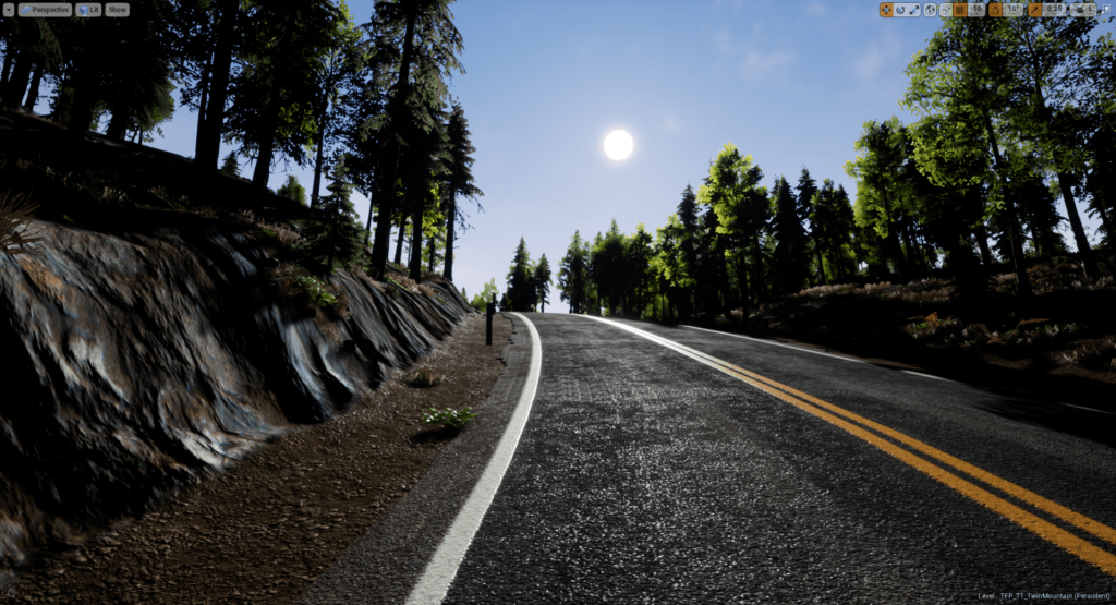
We’ll be creating an area called Twin Mountain, just west of Mt Washington, NH, USA. It’s about 3.2km by 2.6km of rocky/mountainous terrain, largely covered by forests. There are roads, rail lines and loads of hiking trails.
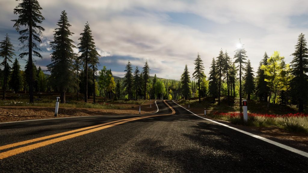
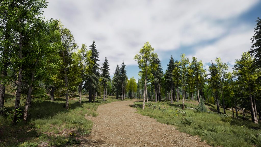
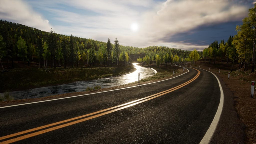
Here are some screenshots:
WE’LL USE
- Digital Terrain Model (“DTM”) data to generate the landscape in UE4;
- Aerial images to create landscape masks for surfaces/vegetation, and;
- GIS line data to create roads, rail and trails.
We’ll combine these with procedural materials and content from UE4’s market place to generate a real world terrain.
As we add more functionality to TerraForm, we’ll add further natural features and man-made infrastructure to the landscape and expand the tutorials.
[Click here for our current Development Road Map.]
